Snicker’s Gap is a wind gap in the Blue Ridge Mountains that is located between Loudoun County and Clarke County in Virginia. A wind gap has no streams or rivers flowing through it. The gap was a major route for Native Americans, being the best way through the Blue Ridge for twenty miles in either direction. It was originally known by European colonists as William’s Gap. In the late 1700’s it took its present name from Edward Snickers, who owned the gap and operated a ferry across the Shenandoah River on its west side.
The gap reaches an altitude of 1,056 feet. This is about 300 to 600 feet below the main ridgeline of the Blue Ridge and about the same height above the lowlands on both sides.
The Snicker’s Gap Turnpike ran through the gap during the Civil War. It was the main route between Loudoun County and the Shenandoah Valley, connecting Winchester with Leesburg. The turnpike became today’ s Virginia State Route 7. Another road leads southeast to Aldie, Chantilly and, eventually, Alexandria on the Potomac.
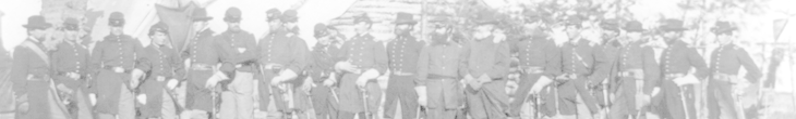
The Gap was the scene of a skirmish on November 3, 1862 as Major General Ambrose Burnside led the the Union Army on its March to Falmouth prior to the Battle of Fredericksburg.
The Battle of Cool Spring, also known as the Battle of Snicker’s Gap, was fought here on July 17, 1864. it was between the Confederate Army of the Valley under Jubal Early and Union forces under Horatio Wright. Early was withdrawing to the Shenandoah Valley after his raid on Washington and Wright was pursuing.
Map to Snickers Gap in the Blue Ridge
Snickers Gap is between Leesburg and Berryville, Virginia, along Virginia Route 7, the Harry Byrd Highway. It is about 15 miles west of Leesburg and 8 miles east of Berryville.